Flooding along the Strule at Tattynure
Introduction
The photograph on this page of Flooding along the Strule at Tattynure by Kenneth Allen as part of the Geograph project.
The Geograph project started in 2005 with the aim of publishing, organising and preserving representative images for every square kilometre of Great Britain, Ireland and the Isle of Man.

There are currently over 7.5m images from over 14,400 individuals and you can help contribute to the project by visiting https://www.geograph.org.uk
Flooding along the Strule at Tattynure
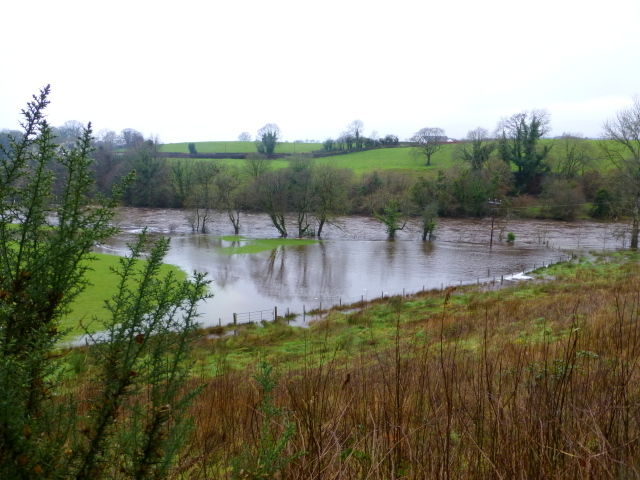
Image: © Kenneth Allen Taken: 23 Dec 2014
Looking west from Carrigans Road, this is near where the Cappagh Burn joins the river
Images are licensed for reuse under creativecommons.org/licenses/by-sa/2.0
Image Location
Latitude
54.663903
Longitude
-7.326021