Ox Pasture/Hop Garden Field
Introduction
The photograph on this page of Ox Pasture/Hop Garden Field by Simon Carey as part of the Geograph project.
The Geograph project started in 2005 with the aim of publishing, organising and preserving representative images for every square kilometre of Great Britain, Ireland and the Isle of Man.

There are currently over 7.5m images from over 14,400 individuals and you can help contribute to the project by visiting https://www.geograph.org.uk
Ox Pasture/Hop Garden Field
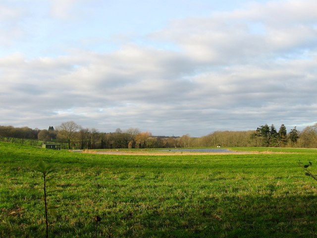
Image: © Simon Carey Taken: 20 Dec 2014
The name of the fields according to Cuckfield's 1843 tithe map that have been merged along with Lower Warren to the south to form a larger unit with this section now landscaped in the last few years with a pond. Ox Pasture was in the foreground adjacent to the B2114 whilst Hop Garden Field was at the far end.
Images are licensed for reuse under creativecommons.org/licenses/by-sa/2.0
Image Location
Latitude
51.024581
Longitude
-0.173824