Upper Housedean Cottages
Introduction
The photograph on this page of Upper Housedean Cottages by Simon Carey as part of the Geograph project.
The Geograph project started in 2005 with the aim of publishing, organising and preserving representative images for every square kilometre of Great Britain, Ireland and the Isle of Man.

There are currently over 7.5m images from over 14,400 individuals and you can help contribute to the project by visiting https://www.geograph.org.uk
Upper Housedean Cottages
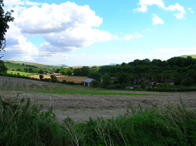
Image: © Simon Carey Taken: 25 Aug 2005
Taken from the bridleway to Balmer looking towards the A27. the two hills at the back of the picture are Mount Caburn and Beddingham Hill.
Images are licensed for reuse under creativecommons.org/licenses/by-sa/2.0
Image Location


Leaflet Map data © OpenStreetMap
Latitude
50.866246
Longitude
-0.064478