Clyce Road, Highbridge
Introduction
The photograph on this page of Clyce Road, Highbridge by Jaggery as part of the Geograph project.
The Geograph project started in 2005 with the aim of publishing, organising and preserving representative images for every square kilometre of Great Britain, Ireland and the Isle of Man.

There are currently over 7.5m images from over 14,400 individuals and you can help contribute to the project by visiting https://www.geograph.org.uk
Clyce Road, Highbridge
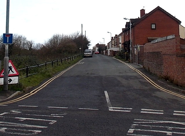
Image: © Jaggery Taken: 10 Dec 2014
Viewed across Huntspill Road. Clyce Road is a 450 metre long dead-end street along a bank of the River Brue. New Clyce Bridge is at the far end. Clyce is a local word for a sluice or lock.
Images are licensed for reuse under creativecommons.org/licenses/by-sa/2.0
Image Location
Latitude
51.219439
Longitude
-2.979913