Brainsmead Close (1), Cuckfield
Introduction
The photograph on this page of Brainsmead Close (1), Cuckfield by Simon Carey as part of the Geograph project.
The Geograph project started in 2005 with the aim of publishing, organising and preserving representative images for every square kilometre of Great Britain, Ireland and the Isle of Man.

There are currently over 7.5m images from over 14,400 individuals and you can help contribute to the project by visiting https://www.geograph.org.uk
Brainsmead Close (1), Cuckfield
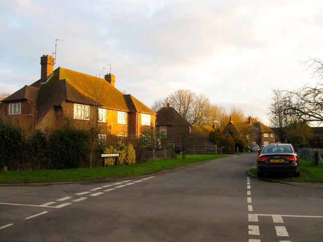
Image: © Simon Carey Taken: 20 Dec 2014
This part of the road lies to the east of Brainsmead and is clearly laid out on both the 1937 OS map and a 1947 aerial photograph. However, the houses were not added until after the latter first appearing on the 1956 OS edition. See also Image
Images are licensed for reuse under creativecommons.org/licenses/by-sa/2.0
Image Location
Latitude
51.01398
Longitude
-0.14031