Mytten Lodge, Broad Street, Cuckfield
Introduction
The photograph on this page of Mytten Lodge, Broad Street, Cuckfield by Simon Carey as part of the Geograph project.
The Geograph project started in 2005 with the aim of publishing, organising and preserving representative images for every square kilometre of Great Britain, Ireland and the Isle of Man.

There are currently over 7.5m images from over 14,400 individuals and you can help contribute to the project by visiting https://www.geograph.org.uk
Mytten Lodge, Broad Street, Cuckfield
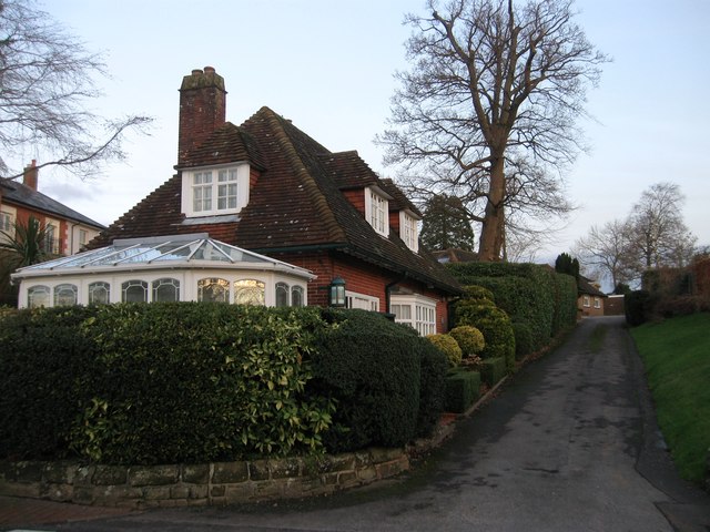
Image: © Simon Carey Taken: 20 Dec 2014
Originally the lodge for Mytten, a large Victorian house. Both lodge and house were not marked on Cuckfield's 1843 tithe map but are on the 1874 OS map giving some idea of construction. The drive to the house remained in use until the 1970s when Image was developed and now serves a couple of smaller dwellings, Mytten Cedars and Mytten Magnolia.
Images are licensed for reuse under creativecommons.org/licenses/by-sa/2.0
Image Location
Latitude
51.006691
Longitude
-0.140031