Tothill Street, Minster, Thanet, Kent
Introduction
The photograph on this page of Tothill Street, Minster, Thanet, Kent by david mills as part of the Geograph project.
The Geograph project started in 2005 with the aim of publishing, organising and preserving representative images for every square kilometre of Great Britain, Ireland and the Isle of Man.

There are currently over 7.5m images from over 14,400 individuals and you can help contribute to the project by visiting https://www.geograph.org.uk
Tothill Street, Minster, Thanet, Kent
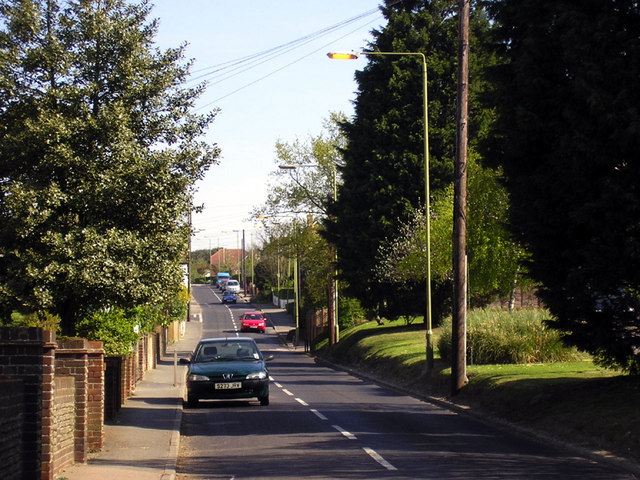
Image: © david mills Taken: 22 Apr 2007
A view looking North towards the Hill House estate which is in the distance on the right. The entrance to Orchard Close is on the left, just about level with the red car
Images are licensed for reuse under creativecommons.org/licenses/by-sa/2.0
Image Location
Latitude
51.340164
Longitude
1.315971