Path junction, Yateley Common
Introduction
The photograph on this page of Path junction, Yateley Common by Alan Hunt as part of the Geograph project.
The Geograph project started in 2005 with the aim of publishing, organising and preserving representative images for every square kilometre of Great Britain, Ireland and the Isle of Man.

There are currently over 7.5m images from over 14,400 individuals and you can help contribute to the project by visiting https://www.geograph.org.uk
Path junction, Yateley Common
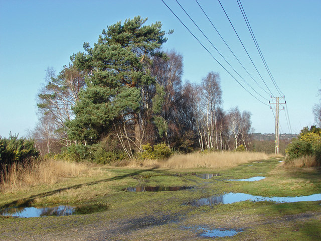
Image: © Alan Hunt Taken: 19 Dec 2014
A path junction on this large area of lowland heath south of the A30, used by the MOD as a training area.
Images are licensed for reuse under creativecommons.org/licenses/by-sa/2.0
Image Location
Latitude
51.324522
Longitude
-0.794151