Thorpe Gates level crossing
Introduction
The photograph on this page of Thorpe Gates level crossing by Nigel Thompson as part of the Geograph project.
The Geograph project started in 2005 with the aim of publishing, organising and preserving representative images for every square kilometre of Great Britain, Ireland and the Isle of Man.

There are currently over 7.5m images from over 14,400 individuals and you can help contribute to the project by visiting https://www.geograph.org.uk
Thorpe Gates level crossing
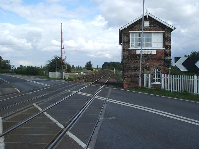
Image: © Nigel Thompson Taken: 17 Aug 2008
Between 1910 and 1945, a line also curved to the right here, towards Goole.
Images are licensed for reuse under creativecommons.org/licenses/by-sa/2.0
Image Location
Latitude
53.775248
Longitude
-1.119127