Waste ground behind Sainsbury's
Introduction
The photograph on this page of Waste ground behind Sainsbury's by Jonathan Hutchins as part of the Geograph project.
The Geograph project started in 2005 with the aim of publishing, organising and preserving representative images for every square kilometre of Great Britain, Ireland and the Isle of Man.

There are currently over 7.5m images from over 14,400 individuals and you can help contribute to the project by visiting https://www.geograph.org.uk
Waste ground behind Sainsbury's
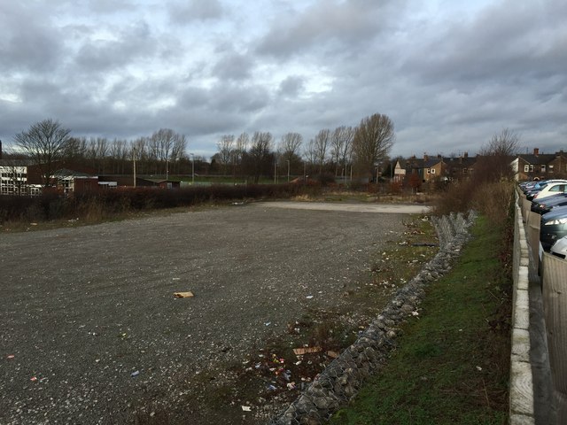
Image: © Jonathan Hutchins Taken: 21 Dec 2014
Presumably this is unwanted acreage from when Sainsbury's took over the former Newcastle-under-Lyme College site. On the extreme right is the edge of Sainsbury's car park (see Image]), while on the left some buildings of St John Fisher Catholic College. In August 2016 houses are being built on the site: see http://www.geograph.org.uk/photo/5091331
Images are licensed for reuse under creativecommons.org/licenses/by-sa/2.0
Image Location
Latitude
53.015841
Longitude
-2.233981