Hovel Field
Introduction
The photograph on this page of Hovel Field by Simon Carey as part of the Geograph project.
The Geograph project started in 2005 with the aim of publishing, organising and preserving representative images for every square kilometre of Great Britain, Ireland and the Isle of Man.

There are currently over 7.5m images from over 14,400 individuals and you can help contribute to the project by visiting https://www.geograph.org.uk
Hovel Field
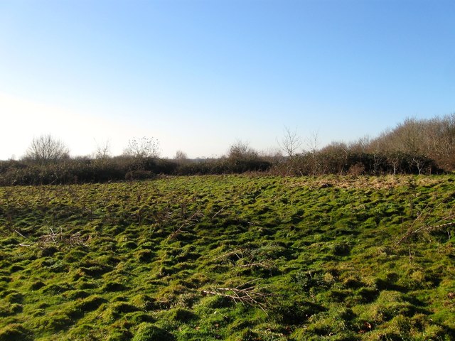
Image: © Simon Carey Taken: 13 Dec 2014
The name of the field according to Cuckfield's 1843 tithe map that lies to the south of the footpath linking Newbury Lane to the Cuckfield Bypass. Once part of Cuckfield's medieval deer park that was disparked in the 16th century.
Images are licensed for reuse under creativecommons.org/licenses/by-sa/2.0
Image Location
Latitude
51.001641
Longitude
-0.133534