Private farm road leading from Hall Road
Introduction
The photograph on this page of Private farm road leading from Hall Road by Eric Jones as part of the Geograph project.
The Geograph project started in 2005 with the aim of publishing, organising and preserving representative images for every square kilometre of Great Britain, Ireland and the Isle of Man.

There are currently over 7.5m images from over 14,400 individuals and you can help contribute to the project by visiting https://www.geograph.org.uk
Private farm road leading from Hall Road
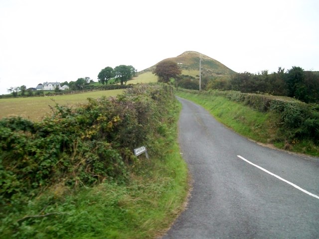
Image: © Eric Jones Taken: 2 Sep 2014
This road is also linked at its far end to Mountain Road. The hill in the background is the Sugarloaf Mountain, the site of major British Army watch tower during The Troubles. http://www.jonathanolley.com/pages/imagegroup.public.image.php?igId=77&pos=11
Images are licensed for reuse under creativecommons.org/licenses/by-sa/2.0
Image Location
Latitude
54.162863
Longitude
-6.448524