Caradon Trail at Pensilva
Introduction
The photograph on this page of Caradon Trail at Pensilva by Derek Harper as part of the Geograph project.
The Geograph project started in 2005 with the aim of publishing, organising and preserving representative images for every square kilometre of Great Britain, Ireland and the Isle of Man.

There are currently over 7.5m images from over 14,400 individuals and you can help contribute to the project by visiting https://www.geograph.org.uk
Caradon Trail at Pensilva
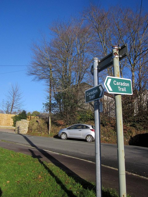
Image: © Derek Harper Taken: 13 Dec 2014
The Trail http://www.visitliskeard.co.uk/wp-content/uploads/Caradon-Trail-Leaflet-2.pdf only opened in February 2014 and, at the time of submission, has yet to feature on the 1:25000 OS map. These signs are at the junction of Princess Road and School Road (background).
Images are licensed for reuse under creativecommons.org/licenses/by-sa/2.0
Image Location
Latitude
50.503282
Longitude
-4.410605