Purlbridge Farm
Introduction
The photograph on this page of Purlbridge Farm by Derek Harper as part of the Geograph project.
The Geograph project started in 2005 with the aim of publishing, organising and preserving representative images for every square kilometre of Great Britain, Ireland and the Isle of Man.

There are currently over 7.5m images from over 14,400 individuals and you can help contribute to the project by visiting https://www.geograph.org.uk
Purlbridge Farm
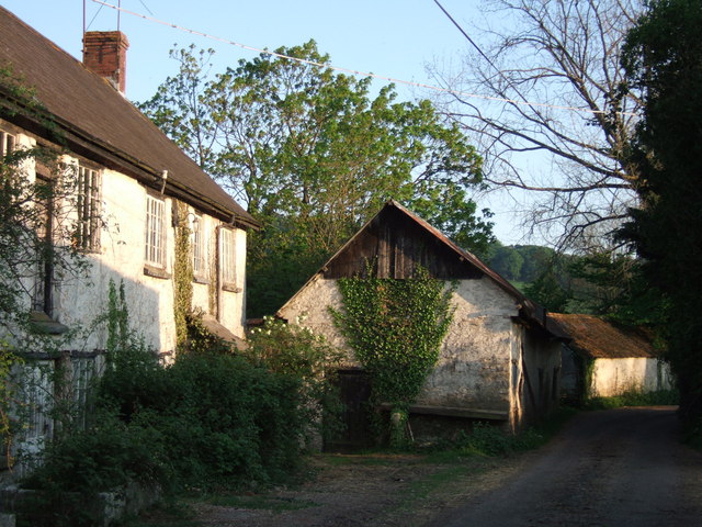
Image: © Derek Harper Taken: 2 May 2007
A farm in the Coly valley that seems to have been overlooked by the passage of time. On Purlbridge Road approaching Bonehayne.
Images are licensed for reuse under creativecommons.org/licenses/by-sa/2.0
Image Location
Latitude
50.751415
Longitude
-3.115831