Footpath to Coney Lodge Farm
Introduction
The photograph on this page of Footpath to Coney Lodge Farm by Marathon as part of the Geograph project.
The Geograph project started in 2005 with the aim of publishing, organising and preserving representative images for every square kilometre of Great Britain, Ireland and the Isle of Man.

There are currently over 7.5m images from over 14,400 individuals and you can help contribute to the project by visiting https://www.geograph.org.uk
Footpath to Coney Lodge Farm
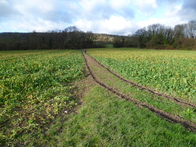
Image: © Marathon Taken: 20 Dec 2014
There are a number of small woodlands or 'shaws' hereabouts. Ahead to the left is Coney Lodge Shaw while to the right is Chalk Hole Shaw. Just behind is Small Profit Shaw. Presumably Coney Lodge Shaw signifies that rabbits were plentiful here, while Chalk Hole Shaw seems to suggest historic chalk quarrying. Quite where Small Profit Shaw gets its name is anyone's guess, although maybe it was a landowner's or farmer's plaintive cry about poor returns. Beyond are the wooded heights of the North Downs.
Images are licensed for reuse under creativecommons.org/licenses/by-sa/2.0
Image Location
Latitude
51.322659
Longitude
0.392434