Brickyard Lane, Farnsfield, Notts.
Introduction
The photograph on this page of Brickyard Lane, Farnsfield, Notts. by David Hallam-Jones as part of the Geograph project.
The Geograph project started in 2005 with the aim of publishing, organising and preserving representative images for every square kilometre of Great Britain, Ireland and the Isle of Man.

There are currently over 7.5m images from over 14,400 individuals and you can help contribute to the project by visiting https://www.geograph.org.uk
Brickyard Lane, Farnsfield, Notts.
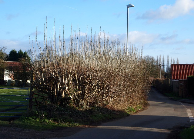
Image: © David Hallam-Jones Taken: 20 Dec 2014
An untamed ash hedge at the side of Brickyard Lane, near to its junction with Nether Court. Access to the village is behind the photographer and one of several access points onto the Southwell Trail is situated 10 minutes or so walk ahead. The field on the left is currently being used for horse grazing.
Images are licensed for reuse under creativecommons.org/licenses/by-sa/2.0
Image Location
Latitude
53.102704
Longitude
-1.026577