Farmland and Power Pylon, near Castle Combe
Introduction
The photograph on this page of Farmland and Power Pylon, near Castle Combe by Pam Brophy as part of the Geograph project.
The Geograph project started in 2005 with the aim of publishing, organising and preserving representative images for every square kilometre of Great Britain, Ireland and the Isle of Man.

There are currently over 7.5m images from over 14,400 individuals and you can help contribute to the project by visiting https://www.geograph.org.uk
Farmland and Power Pylon, near Castle Combe
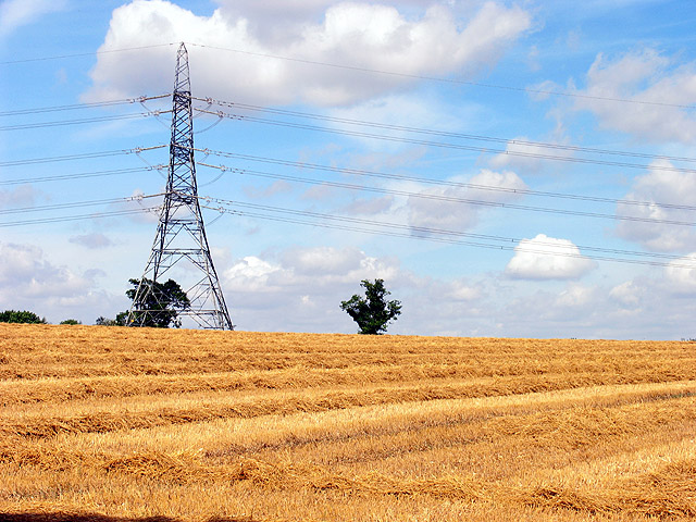
Image: © Pam Brophy Taken: 23 Aug 2005
This square is all farmland with a B road and a minor road, as well as a small section of woodland. This view and field is in the northern half of the square.
Images are licensed for reuse under creativecommons.org/licenses/by-sa/2.0
Image Location


Leaflet Map data © OpenStreetMap
Latitude
51.506142
Longitude
-2.230106