Pylons
Introduction
The photograph on this page of Pylons by Snidge as part of the Geograph project.
The Geograph project started in 2005 with the aim of publishing, organising and preserving representative images for every square kilometre of Great Britain, Ireland and the Isle of Man.

There are currently over 7.5m images from over 14,400 individuals and you can help contribute to the project by visiting https://www.geograph.org.uk
Pylons
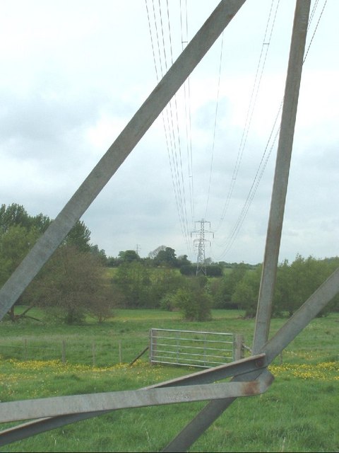
Image: © Snidge Taken: 9 May 2007
Looking through the Pylon on the footpath from Turweston to Whitfield to the next pylon by the River Great Ouse
Images are licensed for reuse under creativecommons.org/licenses/by-sa/2.0
Image Location
Latitude
52.039492
Longitude
-1.12521