Junction of Castle Road and the A40 in Crickhowell
Introduction
The photograph on this page of Junction of Castle Road and the A40 in Crickhowell by Jaggery as part of the Geograph project.
The Geograph project started in 2005 with the aim of publishing, organising and preserving representative images for every square kilometre of Great Britain, Ireland and the Isle of Man.

There are currently over 7.5m images from over 14,400 individuals and you can help contribute to the project by visiting https://www.geograph.org.uk
Junction of Castle Road and the A40 in Crickhowell
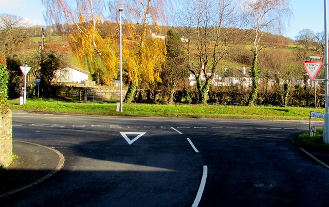
Image: © Jaggery Taken: 19 Dec 2014
Castle Road ends at the junction with the A40, here named Beaufort Street.
Images are licensed for reuse under creativecommons.org/licenses/by-sa/2.0
Image Location
Latitude
51.856204
Longitude
-3.133082