Grassland at Roehouse
Introduction
The photograph on this page of Grassland at Roehouse by Graham Robson as part of the Geograph project.
The Geograph project started in 2005 with the aim of publishing, organising and preserving representative images for every square kilometre of Great Britain, Ireland and the Isle of Man.

There are currently over 7.5m images from over 14,400 individuals and you can help contribute to the project by visiting https://www.geograph.org.uk
Grassland at Roehouse
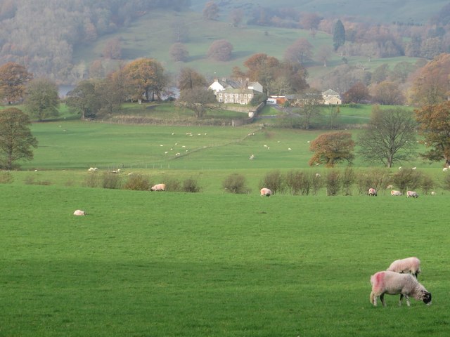
Image: © Graham Robson Taken: 31 Oct 2014
Looking across grassland being grazed by sheep at Roehouse. The buildings of Elderburn are visible in the distance.
Images are licensed for reuse under creativecommons.org/licenses/by-sa/2.0
Image Location
Latitude
54.608074
Longitude
-2.8123