Downstream along the Tone in Taunton
Introduction
The photograph on this page of Downstream along the Tone in Taunton by Jaggery as part of the Geograph project.
The Geograph project started in 2005 with the aim of publishing, organising and preserving representative images for every square kilometre of Great Britain, Ireland and the Isle of Man.

There are currently over 7.5m images from over 14,400 individuals and you can help contribute to the project by visiting https://www.geograph.org.uk
Downstream along the Tone in Taunton
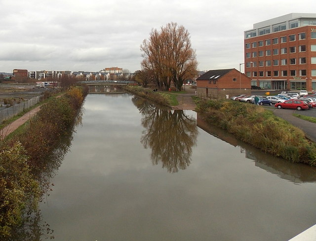
Image: © Jaggery Taken: 16 Dec 2014
Looking ENE from Priory Bridge http://www.geograph.org.uk/photo/4282453 along the River Tone, a major tributary of the River Parrett. Taunton's name is derived from Tone Town - the town on the Tone. Viridor House http://www.geograph.org.uk/photo/4282433 is on the right.
Images are licensed for reuse under creativecommons.org/licenses/by-sa/2.0
Image Location
Latitude
51.020912
Longitude
-3.098621