Location of sidings Comber Greenway
Introduction
The photograph on this page of Location of sidings Comber Greenway by John Thompson as part of the Geograph project.
The Geograph project started in 2005 with the aim of publishing, organising and preserving representative images for every square kilometre of Great Britain, Ireland and the Isle of Man.

There are currently over 7.5m images from over 14,400 individuals and you can help contribute to the project by visiting https://www.geograph.org.uk
Location of sidings Comber Greenway
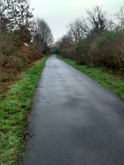
Image: © John Thompson Taken: 13 Dec 2014
Just off the Sandown road were the sandpits used to make bricks for housing in Belfast The railway line had sidings which branched off to the right of the picture to the sandpits and cut across where Sandhill Gardens and Clara Park are now located.
Images are licensed for reuse under creativecommons.org/licenses/by-sa/2.0
Image Location
Latitude
54.590867
Longitude
-5.868821