Roadside, A417
Introduction
The photograph on this page of Roadside, A417 by Jonathan Billinger as part of the Geograph project.
The Geograph project started in 2005 with the aim of publishing, organising and preserving representative images for every square kilometre of Great Britain, Ireland and the Isle of Man.

There are currently over 7.5m images from over 14,400 individuals and you can help contribute to the project by visiting https://www.geograph.org.uk
Roadside, A417
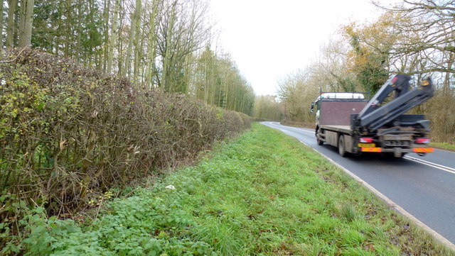
Image: © Jonathan Billinger Taken: 15 Dec 2014
This shot covers all the land in this gridsquare accessible from the public road. The remaining 99.9% is to the left of the dense hedge. Positions for this shot verified by Gps.
Images are licensed for reuse under creativecommons.org/licenses/by-sa/2.0
Image Location
Latitude
52.110848
Longitude
-2.571633