Pasture land next to the A417
Introduction
The photograph on this page of Pasture land next to the A417 by Jonathan Billinger as part of the Geograph project.
The Geograph project started in 2005 with the aim of publishing, organising and preserving representative images for every square kilometre of Great Britain, Ireland and the Isle of Man.

There are currently over 7.5m images from over 14,400 individuals and you can help contribute to the project by visiting https://www.geograph.org.uk
Pasture land next to the A417
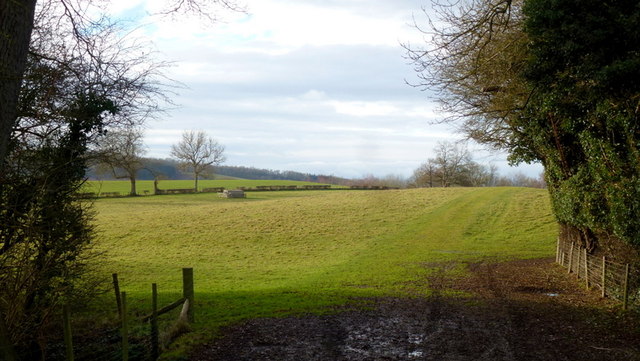
Image: © Jonathan Billinger Taken: 15 Dec 2014
A non-public footpath crosses the field here to Whitwick Manor.
Images are licensed for reuse under creativecommons.org/licenses/by-sa/2.0
Image Location
Latitude
52.104134
Longitude
-2.565561