Surrey Hills south-east of Wotton
Introduction
The photograph on this page of Surrey Hills south-east of Wotton by Jonathan Hutchins as part of the Geograph project.
The Geograph project started in 2005 with the aim of publishing, organising and preserving representative images for every square kilometre of Great Britain, Ireland and the Isle of Man.

There are currently over 7.5m images from over 14,400 individuals and you can help contribute to the project by visiting https://www.geograph.org.uk
Surrey Hills south-east of Wotton
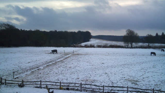
Image: © Jonathan Hutchins Taken: 27 Dec 2010
On a dark December morning. Sylvanus Wood is on the left, while the hedge running across the middle distance from right to left marks Wolvens Lane, designated a BOAT (Byway Open to All Traffic). Upon entering the wood it takes a right-angle along the wood's edge. Wolvens Lane is heavily used by 4x4s and trail bikes, some illegally.
Images are licensed for reuse under creativecommons.org/licenses/by-sa/2.0
Image Location
Latitude
51.215238
Longitude
-0.381927