The Northern End of Arkengarthdale.
Introduction
The photograph on this page of The Northern End of Arkengarthdale. by Steve Partridge as part of the Geograph project.
The Geograph project started in 2005 with the aim of publishing, organising and preserving representative images for every square kilometre of Great Britain, Ireland and the Isle of Man.

There are currently over 7.5m images from over 14,400 individuals and you can help contribute to the project by visiting https://www.geograph.org.uk
The Northern End of Arkengarthdale.
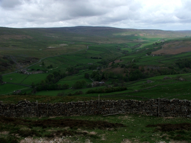
Image: © Steve Partridge Taken: 7 May 2007
Looking from one myriad into another from the hillside above Scar House.
Images are licensed for reuse under creativecommons.org/licenses/by-sa/2.0
Image Location
Latitude
54.429625
Longitude
-2.010757