Saving Leckhampton's fields?
Introduction
The photograph on this page of Saving Leckhampton's fields? by Jonathan Billinger as part of the Geograph project.
The Geograph project started in 2005 with the aim of publishing, organising and preserving representative images for every square kilometre of Great Britain, Ireland and the Isle of Man.

There are currently over 7.5m images from over 14,400 individuals and you can help contribute to the project by visiting https://www.geograph.org.uk
Saving Leckhampton's fields?
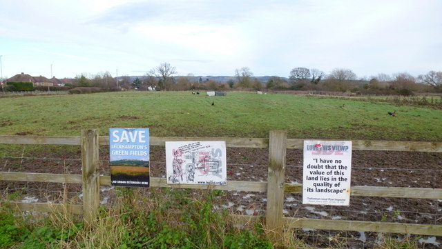
Image: © Jonathan Billinger Taken: 12 Dec 2014
Well the good local folks are trying to stave off the developers on this green belt land on the southern edge of Cheltenham. We'll see in a few years time.
Images are licensed for reuse under creativecommons.org/licenses/by-sa/2.0
Image Location
Latitude
51.879877
Longitude
-2.094526