Catchwater channel on Muggleswick Common
Introduction
The photograph on this page of Catchwater channel on Muggleswick Common by Oliver Dixon as part of the Geograph project.
The Geograph project started in 2005 with the aim of publishing, organising and preserving representative images for every square kilometre of Great Britain, Ireland and the Isle of Man.

There are currently over 7.5m images from over 14,400 individuals and you can help contribute to the project by visiting https://www.geograph.org.uk
Catchwater channel on Muggleswick Common
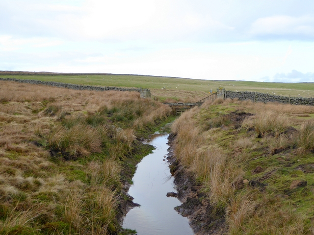
Image: © Oliver Dixon Taken: 15 Dec 2014
A catchwater channel designed to intercept streams flowing off the upper slopes of Muggleswick Common and diverting the water into Hisehope Reservoir. It appears that the channel has been cleared of vegetation since early 2012 (see Image). The wall marks the boundary of improved farmland surrounding Lamb Shield Farm.
Images are licensed for reuse under creativecommons.org/licenses/by-sa/2.0
Image Location
Latitude
54.829081
Longitude
-1.968214