Overthrow, Menheniot
Introduction
The photograph on this page of Overthrow, Menheniot by Derek Harper as part of the Geograph project.
The Geograph project started in 2005 with the aim of publishing, organising and preserving representative images for every square kilometre of Great Britain, Ireland and the Isle of Man.

There are currently over 7.5m images from over 14,400 individuals and you can help contribute to the project by visiting https://www.geograph.org.uk
Overthrow, Menheniot
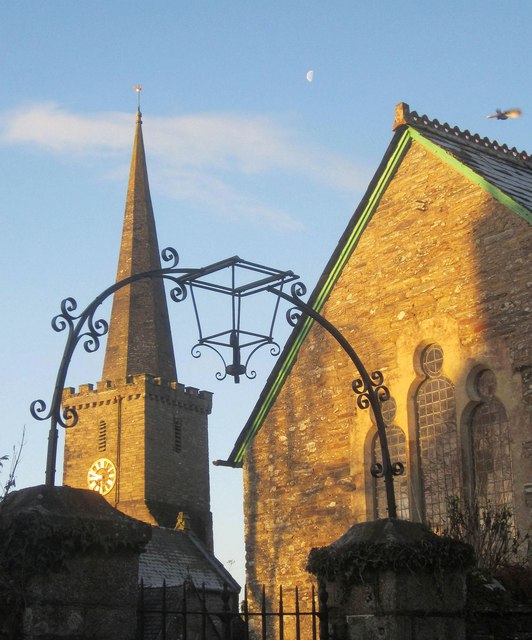
Image: © Derek Harper Taken: 13 Dec 2014
At the gates near the northeast of the churchyard. On the right is the Victorian Sunday School http://list.english-heritage.org.uk/resultsingle.aspx?uid=1329434&searchtype=mapsearch . In the background is the spire of Image In the sky are the moon and what appears to be a pigeon.
Images are licensed for reuse under creativecommons.org/licenses/by-sa/2.0
Image Location
Latitude
50.44047
Longitude
-4.412059