Former Moorhaven Hospital, Bittaford
Introduction
The photograph on this page of Former Moorhaven Hospital, Bittaford by jeff collins as part of the Geograph project.
The Geograph project started in 2005 with the aim of publishing, organising and preserving representative images for every square kilometre of Great Britain, Ireland and the Isle of Man.

There are currently over 7.5m images from over 14,400 individuals and you can help contribute to the project by visiting https://www.geograph.org.uk
Former Moorhaven Hospital, Bittaford
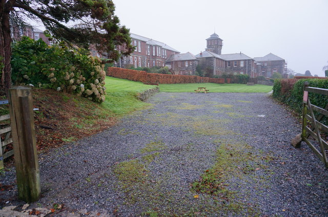
Image: © jeff collins Taken: 15 Dec 2014
The old asylum buildings ahead were some years ago turned into large apartments. Many of the houses and buildings around the site are now also residential properties. This now called Moorhaven Village.
Images are licensed for reuse under creativecommons.org/licenses/by-sa/2.0
Image Location
Latitude
50.401749
Longitude
-3.878153