Quarry workings, Botany
Introduction
The photograph on this page of Quarry workings, Botany by Richard Webb as part of the Geograph project.
The Geograph project started in 2005 with the aim of publishing, organising and preserving representative images for every square kilometre of Great Britain, Ireland and the Isle of Man.

There are currently over 7.5m images from over 14,400 individuals and you can help contribute to the project by visiting https://www.geograph.org.uk
Quarry workings, Botany
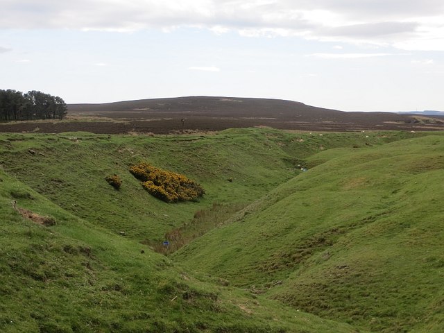
Image: © Richard Webb Taken: 17 May 2014
Coal measures limestone is exposed here and was quarried for lime which was required to sweeten the usual acid soils found on the fell sandstone nearby.
Images are licensed for reuse under creativecommons.org/licenses/by-sa/2.0
Image Location
Latitude
55.516957
Longitude
-1.85301