Stepping stones across the Browney
Introduction
The photograph on this page of Stepping stones across the Browney by Robert Graham as part of the Geograph project.
The Geograph project started in 2005 with the aim of publishing, organising and preserving representative images for every square kilometre of Great Britain, Ireland and the Isle of Man.

There are currently over 7.5m images from over 14,400 individuals and you can help contribute to the project by visiting https://www.geograph.org.uk
Stepping stones across the Browney
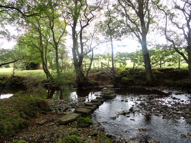
Image: © Robert Graham Taken: 1 Oct 2014
On the footpath leading to Colepike Mill, south of Lanchester. There was once a footbridge here, as it is marked on the 1861 Ordnance Survey map.
Images are licensed for reuse under creativecommons.org/licenses/by-sa/2.0
Image Location
Latitude
54.805467
Longitude
-1.751989