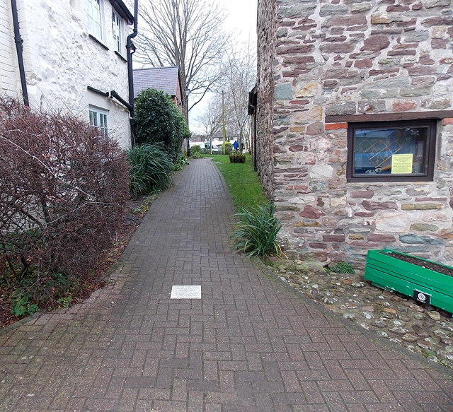
Tile marking the site of a corner of a Roman Legionary Fort in Usk
Introduction
The photograph on this page of Tile marking the site of a corner of a Roman Legionary Fort in Usk by Jaggery as part of the Geograph project.
The Geograph project started in 2005 with the aim of publishing, organising and preserving representative images for every square kilometre of Great Britain, Ireland and the Isle of Man.
There are currently over 7.5m images from over 14,400 individuals and you can help contribute to the project by visiting https://www.geograph.org.uk

Image: © Jaggery Taken: 14 Dec 2014
The Usk Civic Society tile http://www.geograph.org.uk/photo/1425864 is in a path near Usk Rural Life Museum on the right. http://www.geograph.org.uk/photo/4278281 It marks the location of the NW corner of the first Roman fort of the XX (20th) Legion from 55-65 AD and the second Roman fort of the Auxiliary Legion from 65-120 AD. The Roman Legionary fortress and settlement was named Burrium. Brynbuga, the Welsh name for the town of Usk, was first recorded in the 15th century.

