Chertsey Lane at the junction of Weir Place
Introduction
The photograph on this page of Chertsey Lane at the junction of Weir Place by David Howard as part of the Geograph project.
The Geograph project started in 2005 with the aim of publishing, organising and preserving representative images for every square kilometre of Great Britain, Ireland and the Isle of Man.

There are currently over 7.5m images from over 14,400 individuals and you can help contribute to the project by visiting https://www.geograph.org.uk
Chertsey Lane at the junction of Weir Place
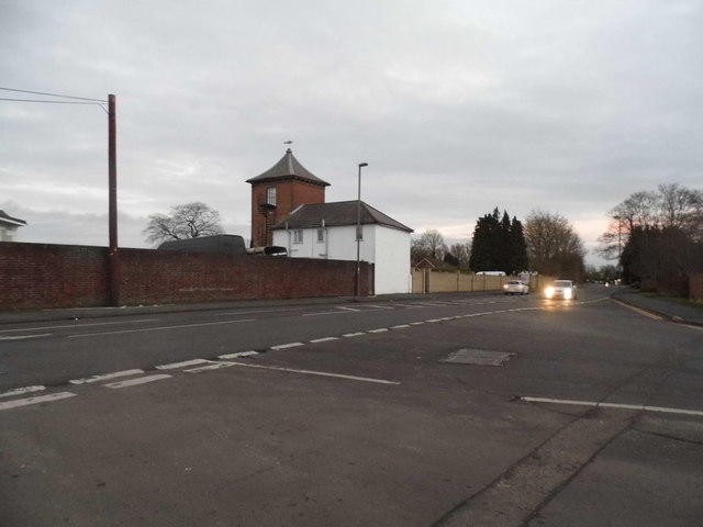
Image: © David Howard Taken: 14 Dec 2014
The old border between Staines and Egham was the Thames, since Surrey extended north of the river in 1965 when Middlesex was abolished as a county the border drifted the other side.
Images are licensed for reuse under creativecommons.org/licenses/by-sa/2.0
Image Location
Latitude
51.417161
Longitude
-0.514019