Limes, Whitemans Green
Introduction
The photograph on this page of Limes, Whitemans Green by Simon Carey as part of the Geograph project.
The Geograph project started in 2005 with the aim of publishing, organising and preserving representative images for every square kilometre of Great Britain, Ireland and the Isle of Man.

There are currently over 7.5m images from over 14,400 individuals and you can help contribute to the project by visiting https://www.geograph.org.uk
Limes, Whitemans Green
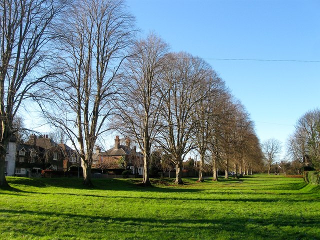
Image: © Simon Carey Taken: 6 Dec 2014
The row of limes were planted by the Cuckfield Improvement Association which existed from 1902-39. Whitemans Green is the name of both the open space and hamlet which sprung up around it.
Images are licensed for reuse under creativecommons.org/licenses/by-sa/2.0
Image Location
Latitude
51.015219
Longitude
-0.14468