Brook Green, Brook Street
Introduction
The photograph on this page of Brook Green, Brook Street by Simon Carey as part of the Geograph project.
The Geograph project started in 2005 with the aim of publishing, organising and preserving representative images for every square kilometre of Great Britain, Ireland and the Isle of Man.

There are currently over 7.5m images from over 14,400 individuals and you can help contribute to the project by visiting https://www.geograph.org.uk
Brook Green, Brook Street
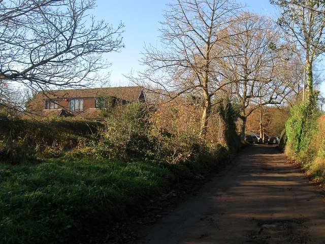
Image: © Simon Carey Taken: 6 Dec 2014
Small private cul de sac off the B2036 that appears to have been laid out in the 1930 but nothing was built on it until after the war. Ousedale is the house on the left.
Images are licensed for reuse under creativecommons.org/licenses/by-sa/2.0
Image Location
Latitude
51.021656
Longitude
-0.142284