Further Lag
Introduction
The photograph on this page of Further Lag by Simon Carey as part of the Geograph project.
The Geograph project started in 2005 with the aim of publishing, organising and preserving representative images for every square kilometre of Great Britain, Ireland and the Isle of Man.

There are currently over 7.5m images from over 14,400 individuals and you can help contribute to the project by visiting https://www.geograph.org.uk
Further Lag
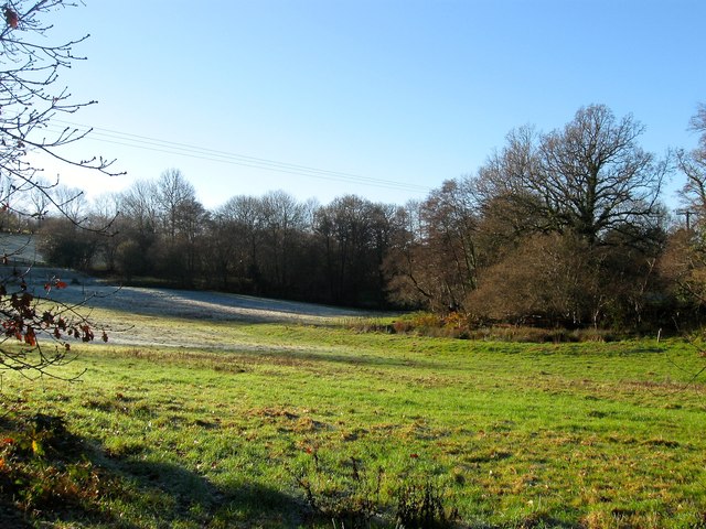
Image: © Simon Carey Taken: 6 Dec 2014
The name of the field according to Cuckfield's 1843 tithe map that is located to the south of Spark's Lane with an unnamed tributary of the River Ouse to the right.
Images are licensed for reuse under creativecommons.org/licenses/by-sa/2.0
Image Location
Latitude
51.024168
Longitude
-0.141898