Broomfield Lane, Farnsfield, Notts.
Introduction
The photograph on this page of Broomfield Lane, Farnsfield, Notts. by David Hallam-Jones as part of the Geograph project.
The Geograph project started in 2005 with the aim of publishing, organising and preserving representative images for every square kilometre of Great Britain, Ireland and the Isle of Man.

There are currently over 7.5m images from over 14,400 individuals and you can help contribute to the project by visiting https://www.geograph.org.uk
Broomfield Lane, Farnsfield, Notts.
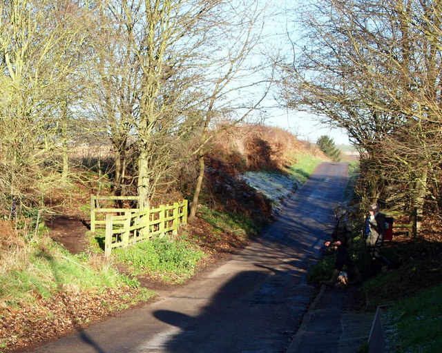
Image: © David Hallam-Jones Taken: 13 Dec 2014
Sections of the Southwell Trail, the Robin Hood Trail and Route 645 of the National Cycle Network all cross the dipped part of road ahead. The two walkers are leaving behind the section to the north of Farnsfield and are heading towards the northbound (Farnsfield-Cockett Farm) section. There is pedestrian access into the Hexgreave Park Estate ahead and the village of Farnsfield is 10 mins away on foot in the other direction.
Images are licensed for reuse under creativecommons.org/licenses/by-sa/2.0
Image Location
Latitude
53.107166
Longitude
-1.033646