Pheasant Field/Broom Field/Brick Field
Introduction
The photograph on this page of Pheasant Field/Broom Field/Brick Field by Simon Carey as part of the Geograph project.
The Geograph project started in 2005 with the aim of publishing, organising and preserving representative images for every square kilometre of Great Britain, Ireland and the Isle of Man.

There are currently over 7.5m images from over 14,400 individuals and you can help contribute to the project by visiting https://www.geograph.org.uk
Pheasant Field/Broom Field/Brick Field
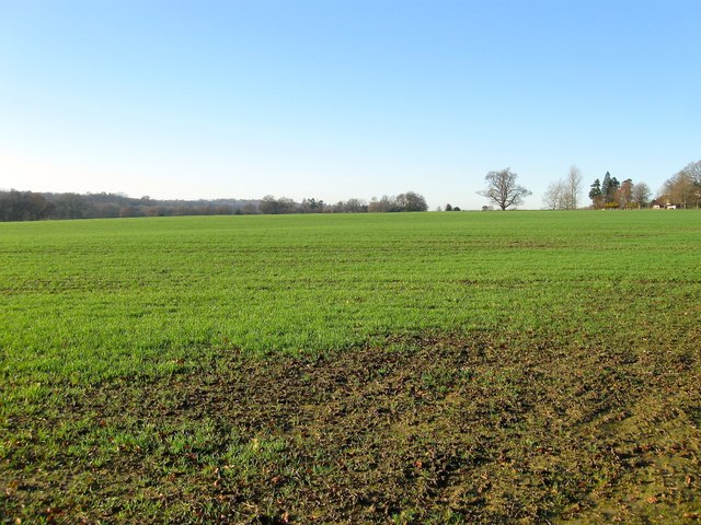
Image: © Simon Carey Taken: 6 Dec 2014
The name of the fields according to Cuckfield's 1843 tithe map that have been merged along with Stews Mead out of shot to the south to form a larger unit. Pheasant Field was on the eastern side, Brick Field to the west adjacent to Tyes Farm and Broom Field in the middle. To the north of the field are the grounds of Old Hall.
Images are licensed for reuse under creativecommons.org/licenses/by-sa/2.0
Image Location
Latitude
51.037039
Longitude
-0.165347