Rose Cottage Lane, Staplefield
Introduction
The photograph on this page of Rose Cottage Lane, Staplefield by Simon Carey as part of the Geograph project.
The Geograph project started in 2005 with the aim of publishing, organising and preserving representative images for every square kilometre of Great Britain, Ireland and the Isle of Man.

There are currently over 7.5m images from over 14,400 individuals and you can help contribute to the project by visiting https://www.geograph.org.uk
Rose Cottage Lane, Staplefield
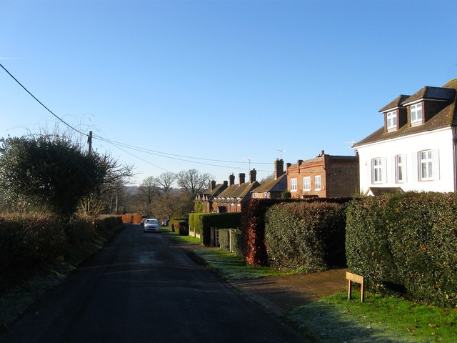
Image: © Simon Carey Taken: 6 Dec 2014
The lane links Upper Staplefield Common with Cuckfield Road, the B2114. The houses are from right to left; Hazeldene, Warwick Cottage, Strathallen and Stoneground Cottages all built during the interwar period. The houses and their gardens were built on a former field called Winghams Field according to Cuckfield's 1843 tithe map.
Images are licensed for reuse under creativecommons.org/licenses/by-sa/2.0
Image Location
Latitude
51.037261
Longitude
-0.173753