
Looking across Highbury Fields
Introduction
The photograph on this page of Looking across Highbury Fields by Marathon as part of the Geograph project.
The Geograph project started in 2005 with the aim of publishing, organising and preserving representative images for every square kilometre of Great Britain, Ireland and the Isle of Man.

There are currently over 7.5m images from over 14,400 individuals and you can help contribute to the project by visiting https://www.geograph.org.uk
Looking across Highbury Fields
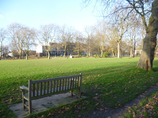
Image: © Marathon Taken: 10 Dec 2014
There used to be an old stone-covered spring here which in the 15th century supplied water via a series of lead conduits as far as Moorgate. This gave Highbury Fields its earlier name of Conduit Field. In the 19th century, the whole area around what is now Highbury Fields consisted of open fields and dairy pasture. The fields supplied milk to the city and they were also a favourite place for Londoners to visit and taste warm milk straight from the cow. The fields were acquired by the Metropolitan Board of Works from the descendants of John Dawes who was a wealthy stockbroker and lived at Highbury Manor House. They were declared open to the public on 24th December 1885. This view is from Highbury Place. The houses on the far side are in Highbury Terrace.
Images are licensed for reuse under creativecommons.org/licenses/by-sa/2.0
Image Location

Latitude
51.5498
Longitude
-0.102675