Footpath alongside Newcastle Lane
Introduction
The photograph on this page of Footpath alongside Newcastle Lane by Jonathan Hutchins as part of the Geograph project.
The Geograph project started in 2005 with the aim of publishing, organising and preserving representative images for every square kilometre of Great Britain, Ireland and the Isle of Man.

There are currently over 7.5m images from over 14,400 individuals and you can help contribute to the project by visiting https://www.geograph.org.uk
Footpath alongside Newcastle Lane
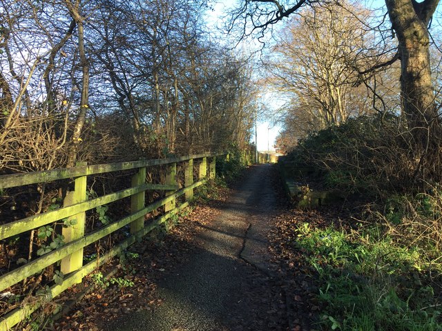
Image: © Jonathan Hutchins Taken: 12 Dec 2014
Newcastle Lane, while now little more than a rat-run between the busy A34 and Hilton Road (and thence to Penkhull and Stoke city centre), still strongly suggests the country lane it once was. The road itself lies in a cutting to the right. The fence marks the boundary of Harplands Hospital.
Images are licensed for reuse under creativecommons.org/licenses/by-sa/2.0
Image Location
Latitude
52.999433
Longitude
-2.211393