Malpas Road houses SE of Pant Road, Crindau, Newport
Introduction
The photograph on this page of Malpas Road houses SE of Pant Road, Crindau, Newport by Jaggery as part of the Geograph project.
The Geograph project started in 2005 with the aim of publishing, organising and preserving representative images for every square kilometre of Great Britain, Ireland and the Isle of Man.

There are currently over 7.5m images from over 14,400 individuals and you can help contribute to the project by visiting https://www.geograph.org.uk
Malpas Road houses SE of Pant Road, Crindau, Newport
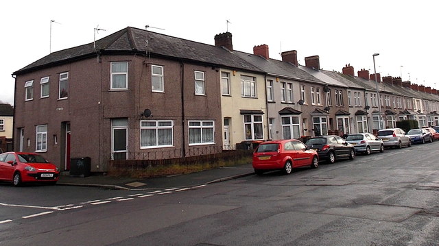
Image: © Jaggery Taken: 12 Dec 2014
Viewed looking towards the city centre. Formerly alongside the A4051 Malpas Road, these houses are now at the edge of a dead-end road. The course of Malpas Road was realigned slightly to the south during the construction of M4 motorway junction 26.
Images are licensed for reuse under creativecommons.org/licenses/by-sa/2.0
Image Location
Latitude
51.600326
Longitude
-3.002385