Junction of Acornclose Lane with Norburn Lane
Introduction
The photograph on this page of Junction of Acornclose Lane with Norburn Lane by Robert Graham as part of the Geograph project.
The Geograph project started in 2005 with the aim of publishing, organising and preserving representative images for every square kilometre of Great Britain, Ireland and the Isle of Man.

There are currently over 7.5m images from over 14,400 individuals and you can help contribute to the project by visiting https://www.geograph.org.uk
Junction of Acornclose Lane with Norburn Lane
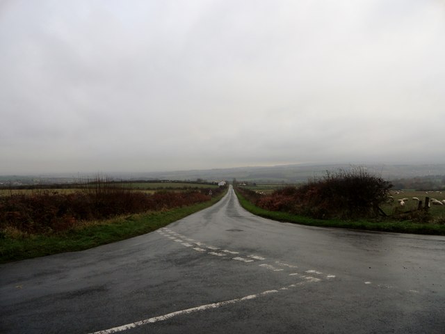
Image: © Robert Graham Taken: 19 Nov 2014
In the countryside west of Sacriston village. Pity about the murky late autumn day, because at a spot height of 193m or 633 feet, there would be great views from up here.
Images are licensed for reuse under creativecommons.org/licenses/by-sa/2.0
Image Location
Latitude
54.820675
Longitude
-1.650581