Factory Rydal Street Leicester
Introduction
The photograph on this page of Factory Rydal Street Leicester by Terry Roberts as part of the Geograph project.
The Geograph project started in 2005 with the aim of publishing, organising and preserving representative images for every square kilometre of Great Britain, Ireland and the Isle of Man.

There are currently over 7.5m images from over 14,400 individuals and you can help contribute to the project by visiting https://www.geograph.org.uk
Factory Rydal Street Leicester
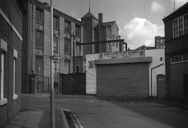
Image: © Terry Roberts Taken: Unknown
Typical of the older mix of housing, factories and scrapyards between the Royal Infirmary and Narborough Road. Expansion of the Infirmary and De Montfort University has led to redevelopment of this area for student housing, bars and shops.
Images are licensed for reuse under creativecommons.org/licenses/by-sa/2.0
Image Location
Latitude
52.626117
Longitude
-1.1372