Last House on Blackshots Lane
Introduction
The photograph on this page of Last House on Blackshots Lane by Glyn Baker as part of the Geograph project.
The Geograph project started in 2005 with the aim of publishing, organising and preserving representative images for every square kilometre of Great Britain, Ireland and the Isle of Man.

There are currently over 7.5m images from over 14,400 individuals and you can help contribute to the project by visiting https://www.geograph.org.uk
Last House on Blackshots Lane
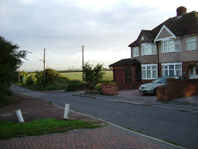
Image: © Glyn Baker Taken: 25 Aug 2005
During the 1930’s Grays extended northwards towards Orsett particularly ribbon development along Blackshots and Long Lane. Post war there was much infill but the town and country planning act has ensured there is some countryside between them. This is the point where town and country meet.
Images are licensed for reuse under creativecommons.org/licenses/by-sa/2.0
Image Location
Latitude
51.501936
Longitude
0.336971