Sussex Ouse Valley Way
Introduction
The photograph on this page of Sussex Ouse Valley Way by Simon Carey as part of the Geograph project.
The Geograph project started in 2005 with the aim of publishing, organising and preserving representative images for every square kilometre of Great Britain, Ireland and the Isle of Man.

There are currently over 7.5m images from over 14,400 individuals and you can help contribute to the project by visiting https://www.geograph.org.uk
Sussex Ouse Valley Way
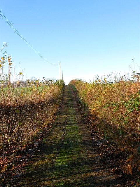
Image: © Simon Carey Taken: 6 Dec 2014
The long distance footpath was inaugurated in 2005 and follows the river from its source to the sea using largely existing footpaths. Here it follows the drive to Ashfold Farm from the entrance on the B2115.
Images are licensed for reuse under creativecommons.org/licenses/by-sa/2.0
Image Location
Latitude
51.03405
Longitude
-0.175449