Path along the edge of Clawdd-du, Overmonnow, Monmouth
Introduction
The photograph on this page of Path along the edge of Clawdd-du, Overmonnow, Monmouth by Jaggery as part of the Geograph project.
The Geograph project started in 2005 with the aim of publishing, organising and preserving representative images for every square kilometre of Great Britain, Ireland and the Isle of Man.

There are currently over 7.5m images from over 14,400 individuals and you can help contribute to the project by visiting https://www.geograph.org.uk
Path along the edge of Clawdd-du, Overmonnow, Monmouth
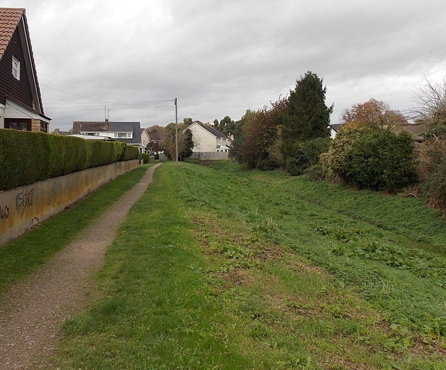
Image: © Jaggery Taken: 26 Oct 2014
Clawdd-du is the ditch which once provided the outer defences of the faubourg of Overmonnow. A faubourg was the area just beyond the town walls. The waters of the River Monnow could be diverted through here in times of threat. Medieval Clawdd-du Bridge http://www.geograph.org.uk/photo/4274969 is nearby.
Images are licensed for reuse under creativecommons.org/licenses/by-sa/2.0
Image Location
Latitude
51.808186
Longitude
-2.723716