Upper Welland
Introduction
The photograph on this page of Upper Welland by Bob Embleton as part of the Geograph project.
The Geograph project started in 2005 with the aim of publishing, organising and preserving representative images for every square kilometre of Great Britain, Ireland and the Isle of Man.

There are currently over 7.5m images from over 14,400 individuals and you can help contribute to the project by visiting https://www.geograph.org.uk
Upper Welland
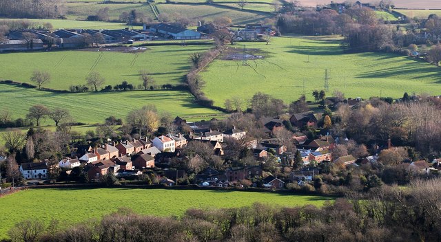
Image: © Bob Embleton Taken: 8 Dec 2014
With the large cow sheds of Wood Farm beyond.
Images are licensed for reuse under creativecommons.org/licenses/by-sa/2.0
Image Location


Leaflet Map data © OpenStreetMap
Latitude
52.065307
Longitude
-2.324231