Petrol Filling Station, Whitemans Green, Whitemans Green
Introduction
The photograph on this page of Petrol Filling Station, Whitemans Green, Whitemans Green by Simon Carey as part of the Geograph project.
The Geograph project started in 2005 with the aim of publishing, organising and preserving representative images for every square kilometre of Great Britain, Ireland and the Isle of Man.

There are currently over 7.5m images from over 14,400 individuals and you can help contribute to the project by visiting https://www.geograph.org.uk
Petrol Filling Station, Whitemans Green, Whitemans Green
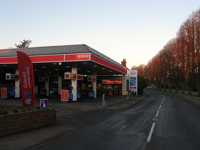
Image: © Simon Carey Taken: 6 Dec 2014
Once the site of the village smithy by the 1937-38 OS map it had become a petrol filling station which it has been ever since. To the right are a line of limes planted on the former common called Whitemans Green in the first decade of the 20th century. As well as the green Whitemans Green also refers to the B2115 as well as the settlement.
Images are licensed for reuse under creativecommons.org/licenses/by-sa/2.0
Image Location
Latitude
51.014751
Longitude
-0.143558